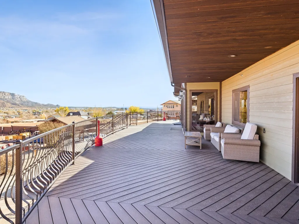
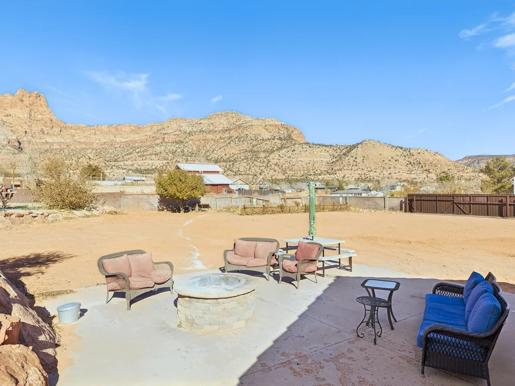
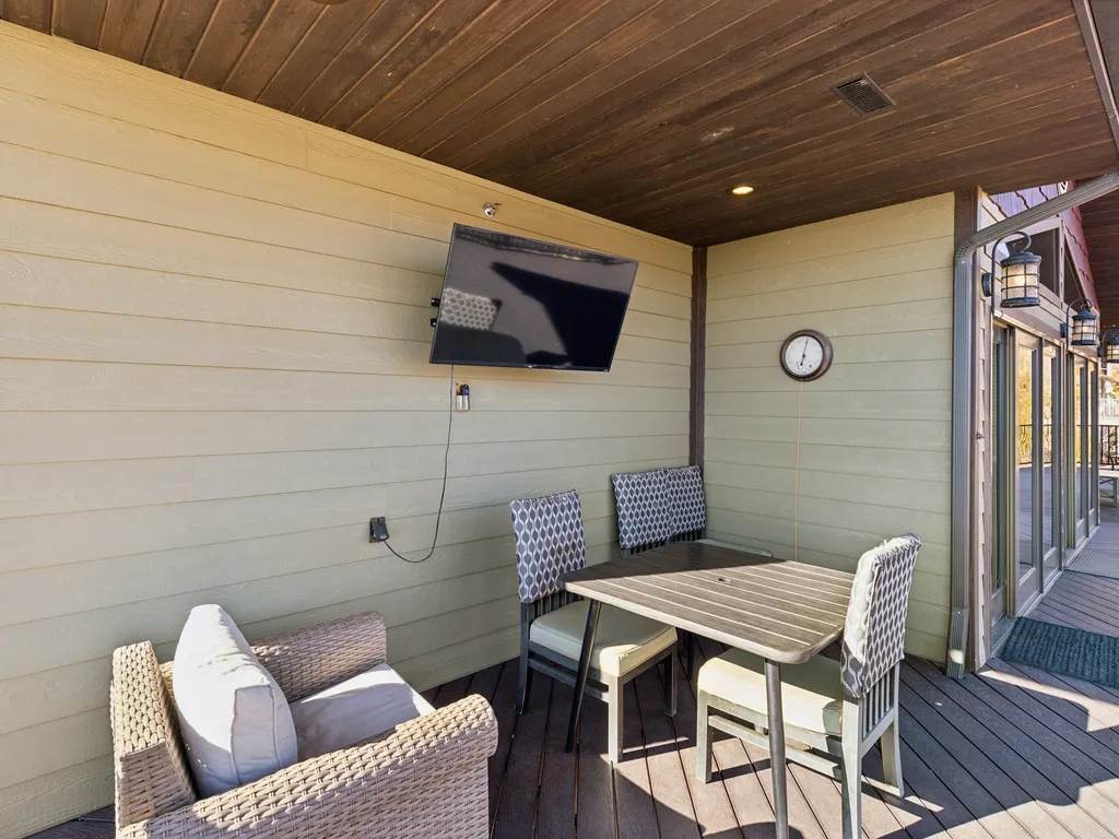
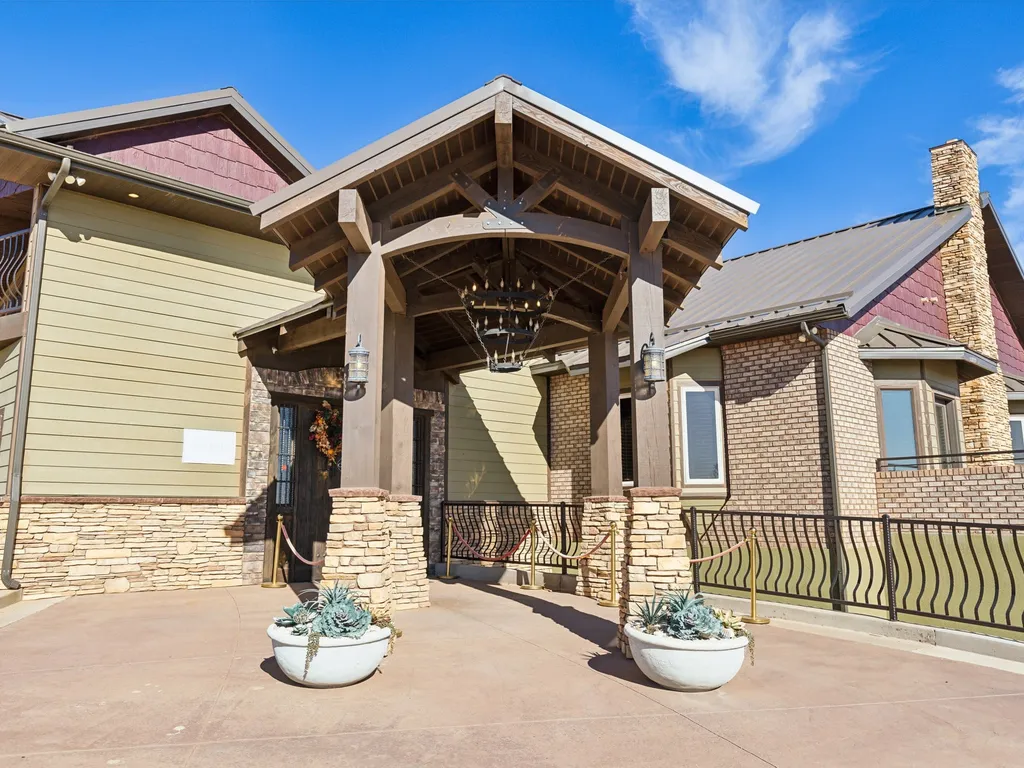
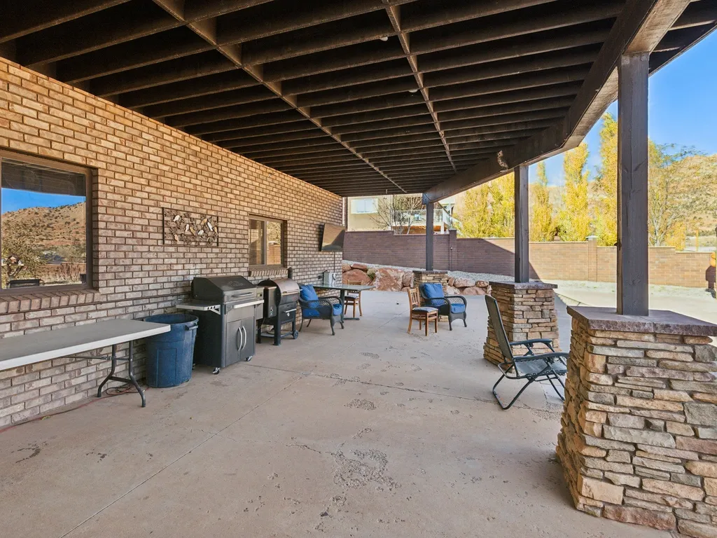
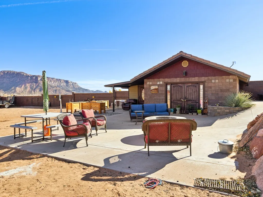
 Hotel Room82 mi1 / 53Photo 1 of 53
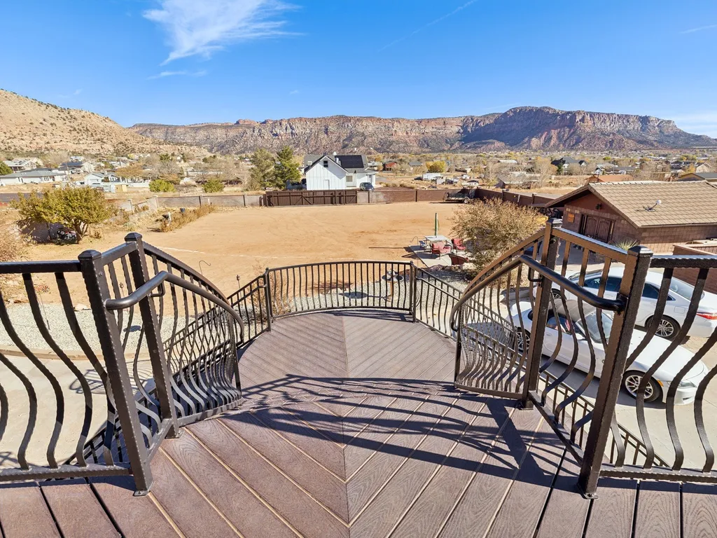


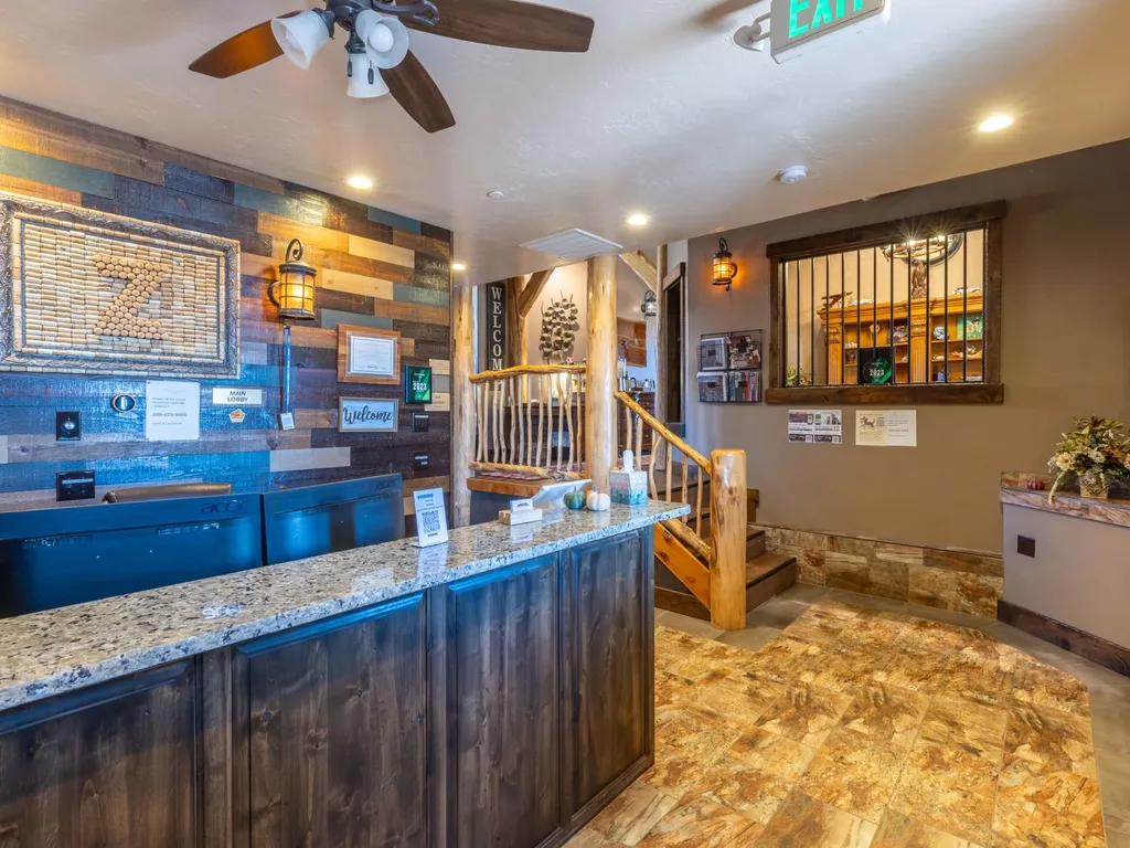
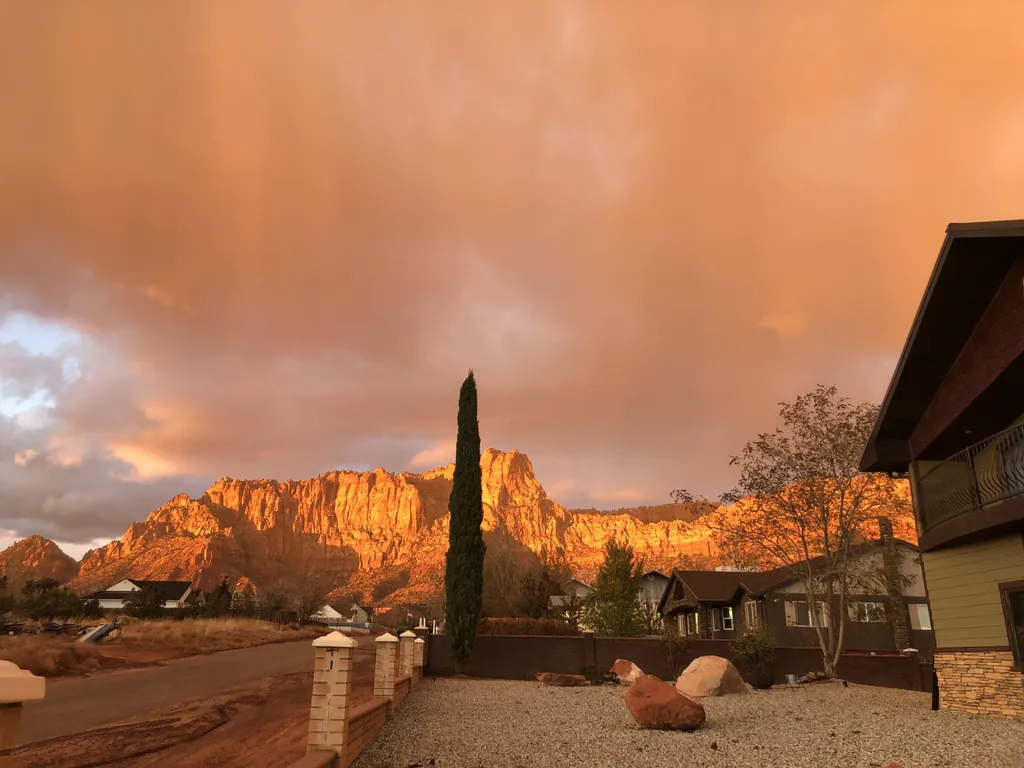
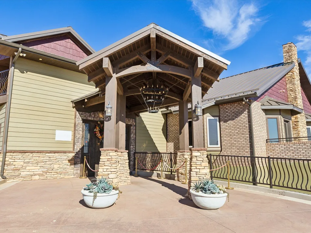
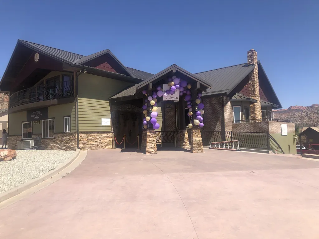
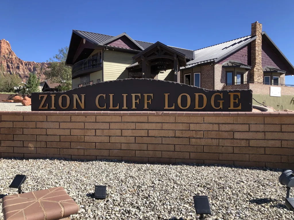
Room 15- Monument Valley
- Free Cancellation
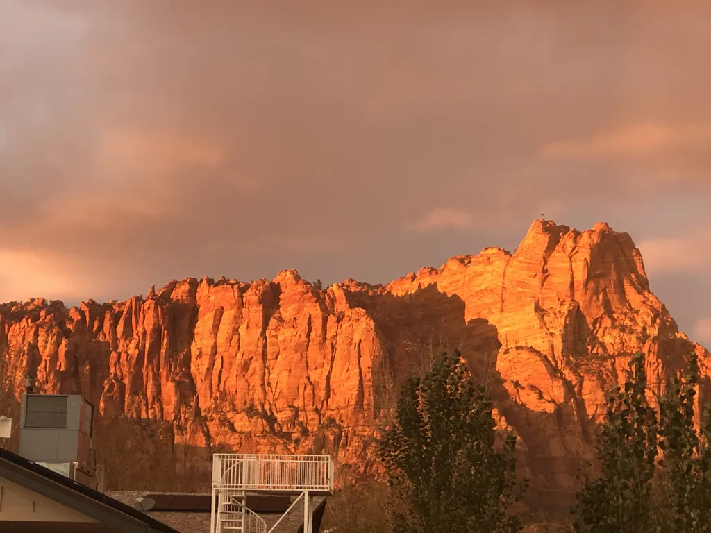
A 270-degree incised meander of the Colorado River carved 1,000 vertical feet below the Glen Canyon Plateau, four miles southwest of Page, Arizona. The overlook sits inside Glen Canyon National Recreation Area but is operated by the City of Page — entry is by parking fee, the trail from lot to rim is 0.7 miles each way over partially paved sand, and there's now a railed observation platform on the east side. A staple of every Lake Powell + Northern Arizona itinerary.
Horseshoe Bend is the 270-degree incised meander of the Colorado River where it loops back on itself between Glen Canyon Dam and Lees Ferry — about four miles southwest of Page, Arizona, inside Glen Canyon National Recreation Area. The overlook stands at 4,180 feet on the rim, with the river surface 1,000 feet directly below at roughly 3,180 feet. The river runs about 250 feet wide at this point; the bend's neck is just over a third of a mile across, and the full enclosed loop is roughly a mile around.
From the parking lot off Highway 89, the trail runs 0.7 miles each way — partially paved, partially sand, with about 100 feet of cumulative elevation change including a low ridge in the middle. There's a small shade pavilion midway and a railed observation platform on the east side of the rim added in 2018 for ADA access. The rest of the rim is open sandstone — no railing, sheer drop. Family stays should keep small children well back from unprotected edges.
Crowding peaks 9 AM–6 PM in summer; the parking lot fills before 10 AM most spring and fall weekends. Best times: 30 minutes before sunrise (cooler, fewer people, river still in shadow) or 90 minutes before sunset (warm light on the canyon walls). Sunset itself faces away from the overlook — the sun drops behind your right shoulder if you're looking at the bend. Combine with Antelope Canyon (7 miles away) and Lake Powell to fill a 1–2 day stop on a Grand Circle road trip.
A short loop through the exhibits, encounters, and shows that make this stop worth a half-day on its own.
The bend itself wraps a sandstone monolith on three sides; the Colorado River drops about 5 feet of elevation through this single curve before continuing 15 miles to Lees Ferry. Best photographed with a 16mm-equivalent wide lens — the bend is too wide to capture from the rim with anything narrower than 24mm full-frame.
From parking lot to overlook is 0.7 miles each way over a mostly paved path with a sand-and-slickrock middle ridge. Total elevation change is about 100 feet (a low rise on the way out, descending into the rim approach). Allow 30–45 minutes round trip with photo time. Wheelchair-accessible to the platform with assistance.
A railed steel platform built into the rim's east side opened in 2018 — gives a stable, fenced viewpoint for the centered bend shot and the only safe vantage for visitors uncomfortable with unprotected drop-offs. Fits about 30 people; stage your group rotation to give everyone time at the rail.
Sunrise lights the river surface and the bend's east wall first while the west wall stays in shadow — a high-contrast shot. Mid-morning warms both walls and reflects off the water. Sunset puts the sun behind the photographer to the southwest, lighting the upstream cliff but throwing the bend itself into half-shadow. Most pros pick 90 minutes before sunset.
The Glen Canyon Dam sits 5 river-miles upstream of Horseshoe Bend — its 1963 completion is what flattened the river's flow at this point, made Lake Powell, and changed the canyon's sediment regime. The Carl Hayden Visitor Center at the dam is 7 minutes by car from the Horseshoe Bend lot, free, and has the only public dam tour in the Southwest.
Lees Ferry, 15 river-miles downstream of Horseshoe Bend, is the official mile-zero of the Grand Canyon — every Colorado River raft trip into the canyon launches there. From Horseshoe Bend, you can drive Highway 89 south to Marble Canyon and the historic Lees Ferry compound in about 45 minutes.
Despite sitting inside Glen Canyon National Recreation Area, the overlook's parking is on City of Page land — so the America the Beautiful Annual Pass, Senior Pass, Access Pass, and military passes are NOT accepted. Pay the $10 vehicle fee at the gate; cash on major holidays.
Antelope Canyon's tour staging yards on Highway 98 are 7 miles east of Horseshoe Bend — about 15 minutes by car. Most visitors do Upper Antelope morning tours timed for 11:00 AM light beams, lunch in Page, and Horseshoe Bend in late afternoon for the warm sidelight on the cliffs.
Open sunrise to sunset, 365 days a year. Parking on Highway 89 shoulder is prohibited and enforced; the only legal access is the official lot off the entrance road. Busiest 9:00 AM–6:00 PM; come at sunrise for cooler temperatures and shorter trail traffic. Summertime trail-surface temperatures regularly exceed 110°F.
Note · Gates lock at sunset. The observation platform faces west — sunset light hits the bend from behind, so most photographers prefer mid-morning or late afternoon (1–2 hours before sunset) for the canyon walls in light and the river still mirroring sky.
Per-person admission. Buy in advance to skip the gate line.
Fees set by City of Page Resolution #1224-19. Cash and credit/debit accepted; cash-only on major holidays (Memorial Day, Labor Day, Thanksgiving, Christmas, etc.) to clear lines. The America the Beautiful / National Park Pass is NOT accepted at Horseshoe Bend even though the overlook sits within Glen Canyon NRA — the parking lot is on City of Page land. Pets are welcome on the trail (leashed); bring water for them and yourself.
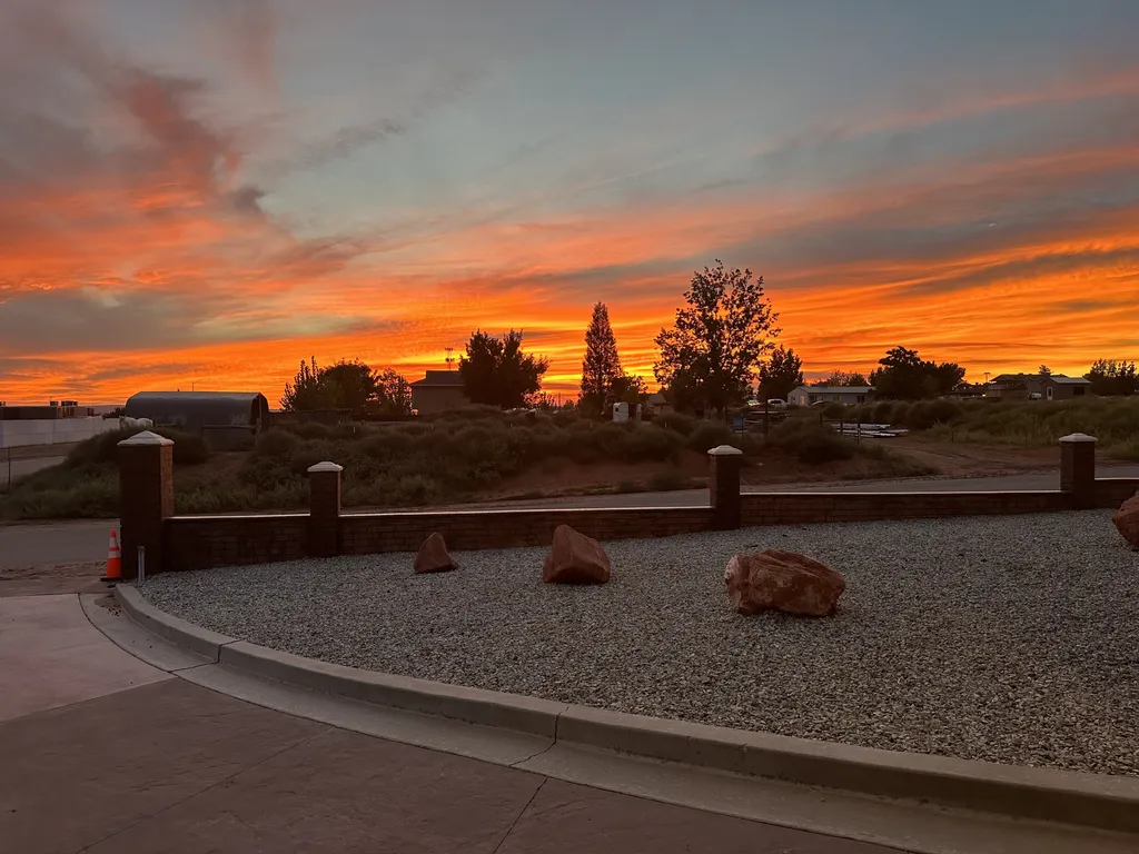
Plan your visitHotel Room82 mi1 / 53Photo 1 of 53 Hotel Room82 mi1 / 52Photo 1 of 52
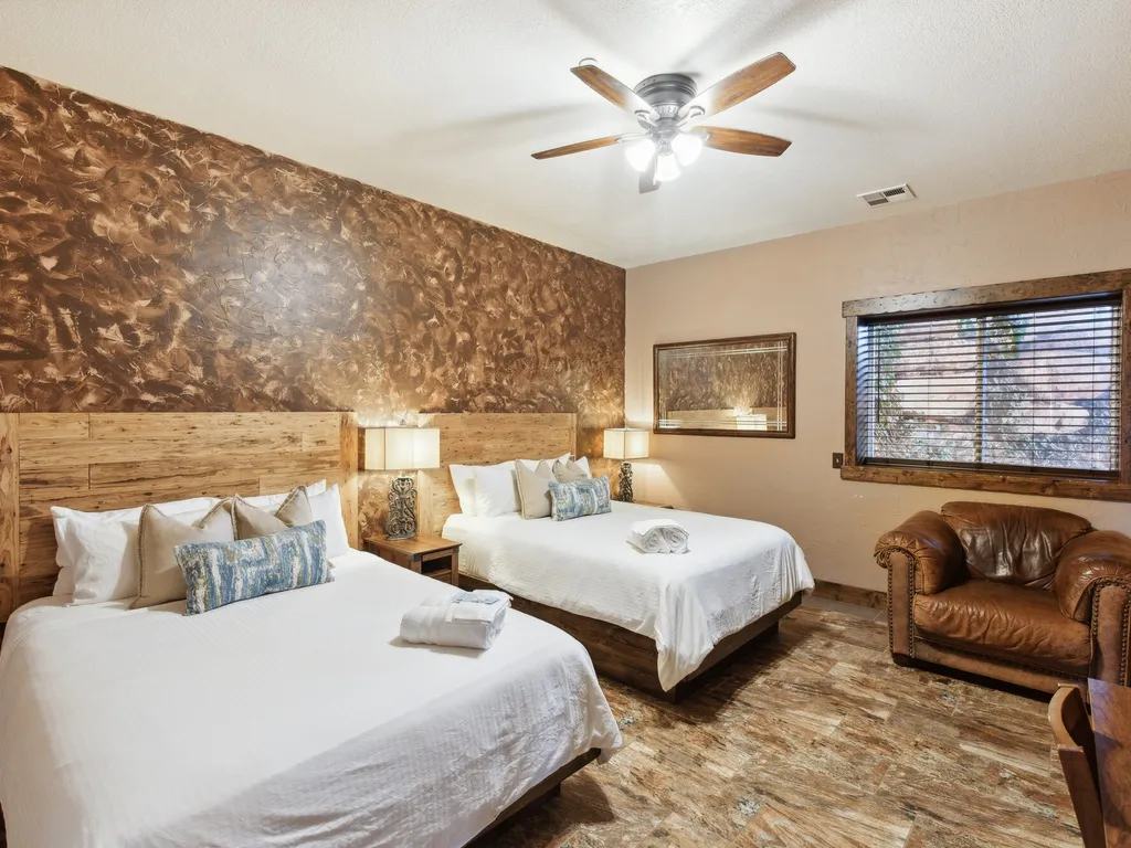
 Hotel Room82 mi1 / 52Photo 1 of 52
 Hotel Room82 mi1 / 50Photo 1 of 50
 suite82 mi1 / 51Photo 1 of 51
 Hotel Room82 mi1 / 52Photo 1 of 52
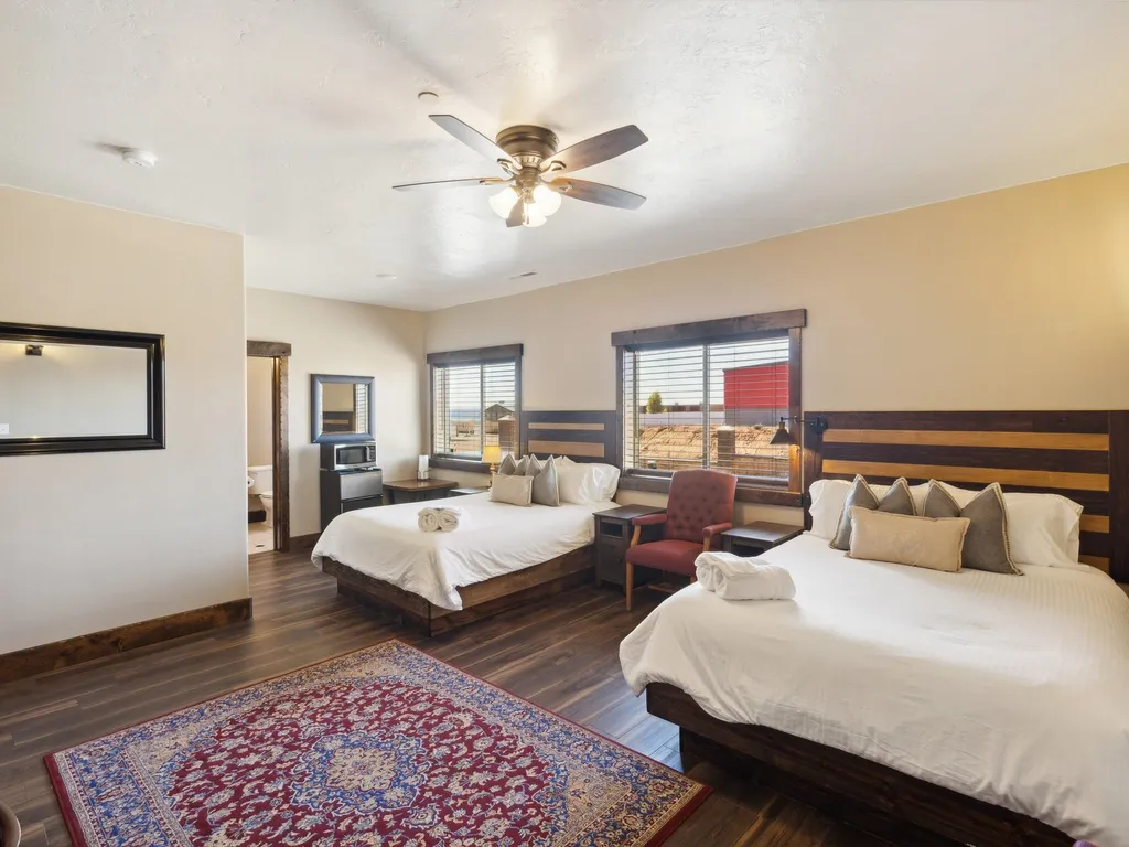 Hotel Room82 mi1 / 52Photo 1 of 52
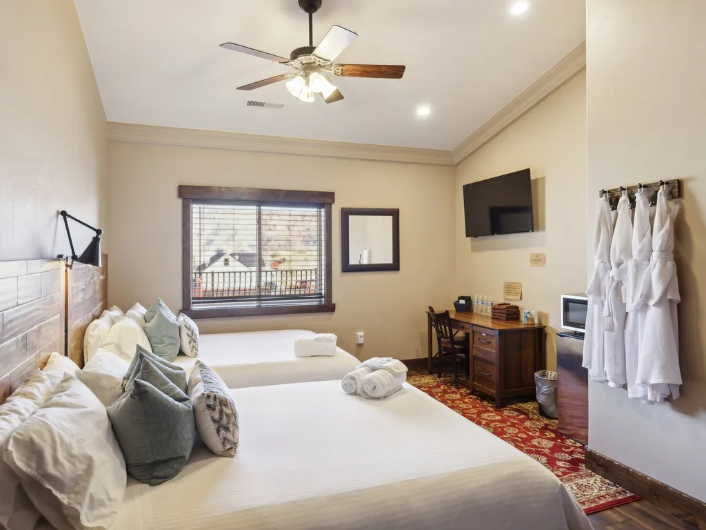 Hotel Room82 mi1 / 52Photo 1 of 52
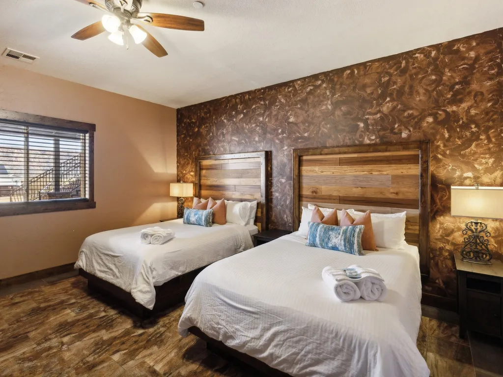 Hotel Room82 mi1 / 54Photo 1 of 54
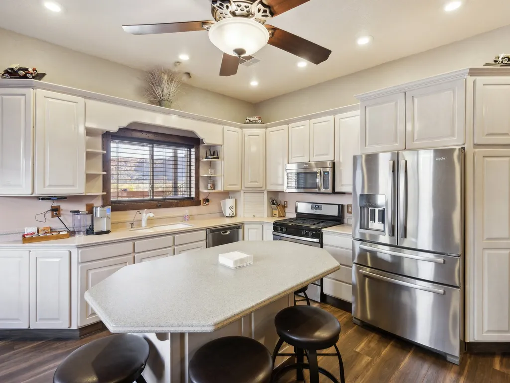 apts82 mi1 / 52Photo 1 of 52
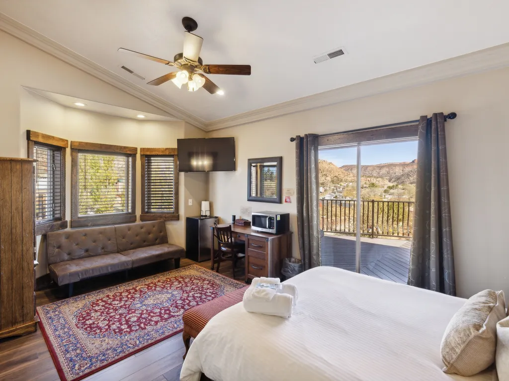 suite82 mi1 / 51Photo 1 of 51